Bradley A. Weymer (first and corresponding author), Associate Professor of the School of Oceanography, Shanghai Jiao Tong University, along with his colleagues Mark E. Everett (Texas A&M University), Amir Haroon (GEOMAR), Marion Jegen-Kulcsar (GEOMAR), Aaron Micallef (University of Malta), Christian Berndt (GEOMAR), Holly A. Michael (University of Delaware), Rob L. Evans (WHOI), Vincent Post (Edinsi Groundwater) publish a Perspective paper in Communications Earth & Environment, titled “The coastal transition zone is an underexplored frontier in hydrology and geoscience.”
What is the coastal transition zone and why is it important?
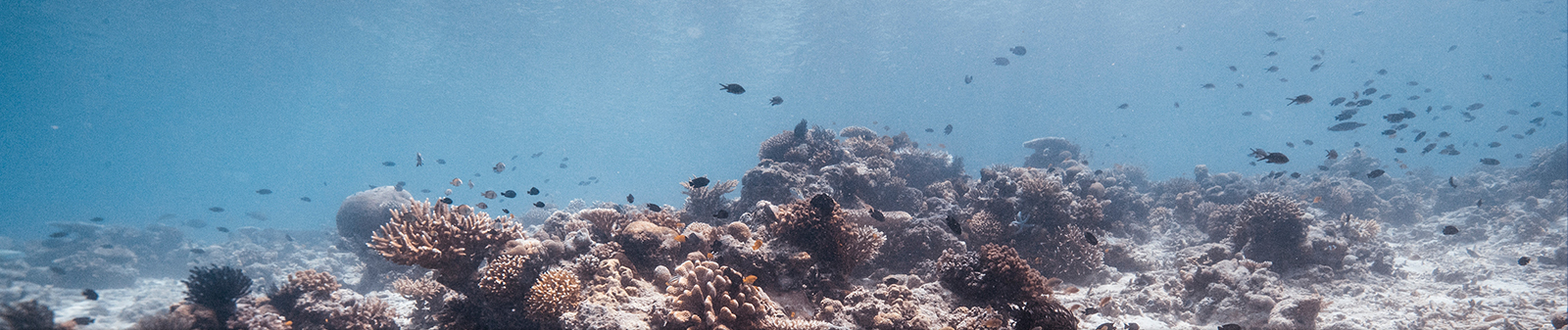
The transition between land and sea, or the so-called “coastal transition zone” is a very poorly studied frontier resulting from limitations of technology and logistical barriers. Sometimes referred to as the “white ribbon,” this region is a gradational boundary comprising an elusive information gap spanning the onshore to shallow-water offshore region (Fig. 1). It is one of the most challenging environments of the solid Earth system to study because water depths in nearshore areas are too deep for remote sensing from aircraft and satellites, but too shallow for deep-sea and ocean geophysical and drilling technologies. The region contains, amongst many intriguing targets, the transition from continental to oceanic crust. As an underexplored frontier, we cannot yet grasp its full importance for certain fundamental Earth processes.

Figure 1. The coastal white ribbon spans the transition between land and sea; it is defined as the nearshore shallow water region below which there exists a paucity of data constraining deep structure and processes. The image shows breaking waves resembling a white ribbon in the nearshore zone at Padre Island National Seashore, Texas, USA (Photo credit: B. Weymer. 29 November, 2013).
Although strides are being made to bridge the information gap, most work to date has utilized interpolation between disparate datasets crossing the shoreline and/or has focused on the challenges associated with integrating terrestrial and marine datasets to map surface morphology and shallow (~500 m) subsurface features. In other words, we have only begun to scratch the surface, and a challenge moving forward is to characterize the deep (> 500 m) white ribbon region with seamless data coverage. Improved technologies are needed to fill the blank slate lying deep beneath the coastal white ribbon.
In this Perspective, we highlight several examples that identify the region deep beneath the coastal white ribbon as an important frontier for a variety of research endeavors related to; tectonics, hydrocarbon exploration, geohazards and particularly, coastal hydrogeology. In each case geophysical imaging complemented by scientific drilling is envisioned to play a primary role.
About the Journal:
Communications Earth & Environment is a new open access journal from Nature Portfolio publishing high-quality research, reviews and commentary in all areas of the Earth, environmental and planetary sciences. Research papers published by the journal represent significant advances that bring new insight to a specialized area in Earth science, planetary science or environmental science. Perspective articles are intended to provide a forum for authors to discuss models and ideas from a personal viewpoint. They are more forward looking and/or speculative than Review articles and may take a narrower field of view. They may be opinionated but should remain balanced and are intended to stimulate discussion and new experimental approaches.
The article is an invited contribution to the journal. It is the outcome of fruitful discussions on the state of the art of offshore groundwater research held during a two-day international workshop organized and led by Bradley Weymer as part of the SMART project* through the Helmholtz European Partnering Initiative. The workshop brought together leading scientists in the fields of marine and applied geophysics, coastal geomorphology, hydrogeology, and geochemistry. The workshop was hosted at Texas A&M University, College Station, Texas, USA in December, 2019.
Article information and related links:
Weymer, B.A., Everett, M.E., Haroon, A. et al. The coastal transition zone is an underexplored frontier in hydrology and geoscience. Commun Earth Environ 3, 323 (2022). https://doi.org/10.1038/s43247-022-00655-8
This Perspective is an open access article and can be accessed here: https://www.nature.com/articles/s43247-022-00655-8
*Link to the SMART project homepage: https://www.offshoregroundwater.com/